Winter hiking trail Gamsgarten Mountain Station - Eisgrat Mountain Station (10)
Important Infomation
Route Length
1.59 km
Route Time Total
00:45 h
altitude meters uphill
253 hm
highest point
2881 hm
Difficulty
Middle
Best Season:
Jan
Feb
Mar
Apr
May
Jun
Jul
Aug
Sep
Oct
Nov
Dec
Altitude Profile
Weather
Description
Walking Time: approx. 45 min.Length: 1.6 km
Difference in Altitude: 265 m
Start / Finish: Gamsgarten Mountain Station / Eisgrat Mountain Station
Parking: Stubaier Glacier Valley Station
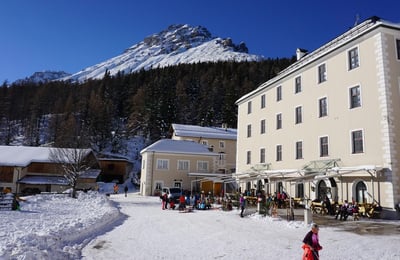
Rest Points: Gamsgarten Mountain Station (2,620 m), Eisgrat Mountain Station (2,900 m)
From the Gamsgarten mountain station, a prepared winter hiking trail leads in serpentines to the Eisgrat mountain station. It takes about 45 minutes to cover the 265 metres in altitude.