Stubai Radroute 19
Important Infomation
Route Length
24 km
altitude meters uphill
364 hm
altitude meters downhill
200 hm
highest point
1216 hm
Difficulty
Easy
Stamina
4/6
Skill
2/6
Starting point:
Neustift - Stackler
End Point:
Neustift - Falbeson
Road quality:
durchgehend asphaltiert
Equipment:
Räder aller Art
Best Season:
Jan
Feb
Mar
Apr
May
Jun
Jul
Aug
Sep
Oct
Nov
Dec
Altitude Profile
Open
Weather
Description
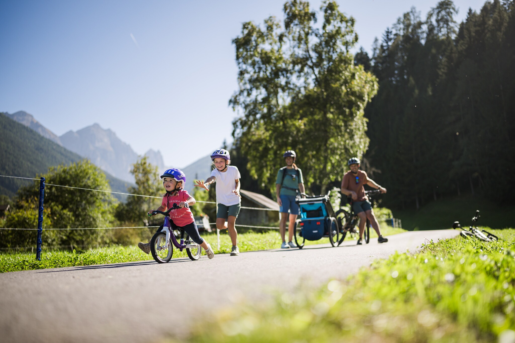
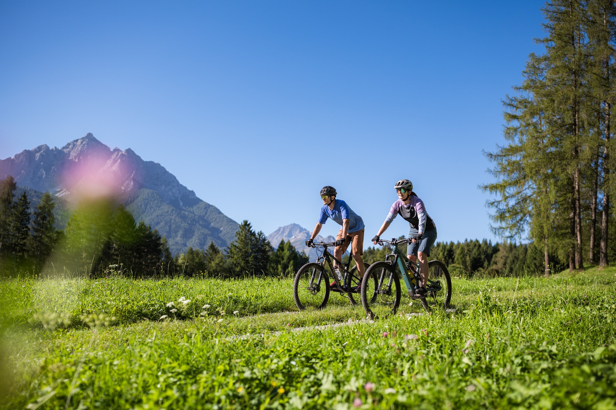
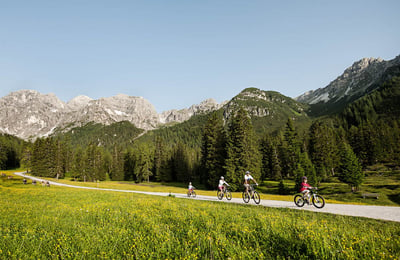
Cycle along approximately 24 kilometers through the valley floor of the Stubai Valley!
Relaxed cycling over more than 40 kilometers through the Stubai Valley: The Stubai Cycle Route 19 & 19a is a largely developed and signposted valley cycle path, running from Schönberg to the Doadler Alm in Falbeson—ideal for families, e-bikers, leisure cyclists, and beginners. The route passes through the valley without any major inclines, accompanied by meadows, forests, playgrounds, and places to stop for refreshments.