Stage 2: Bremer Hut - Nürnberger Hut
ważne informacje
Długość trasy
6 km
Całkowity czas trwania trasy
04:00 h
Wysokość metry pod górę
524 hm
Metry wysokości w dół
657 hm
Najwyższy punkt
2752 hm
Trudność
trudna
Znak jakości tyrolskich szlaków górskich
tak
najlepsza pora roku:
Sty
Luty
Mar
Kwie
Maj
Cze
Lip
Sie
Wrz
Paź
List
Grud
profil wysokościowy
pogoda
opis
BREMER HUT – NÜRNBERGER HUTAscent/Descent: ⬆ 524 Hm ⬇ 657 Hm
Time required: 4 hours
Length: 6 km
Lowest point: 2,221 m
Highest point: 2,752 m
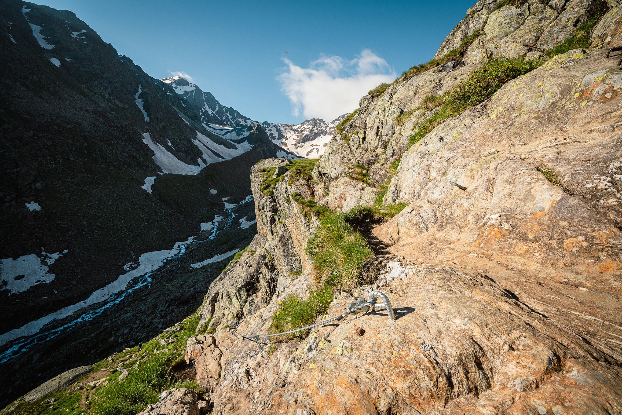
The trail begins with a slight ascent alongside the Simmingferner. After about half an hour, it then continues onwards through steeper, rockier terrain to the Simmingjöchl (highest point 2,754 m). Once you reach the old ‘Zollhaus’, a spectacular panoramic view of the Stubai Alps awaits you.
This is followed by a long, winding descent, with some secured sections, leading to a glacial stream. From here, it’s only a short ascent until you reach the Nürnberger Hut. The last section is very level and should be easy to hike.