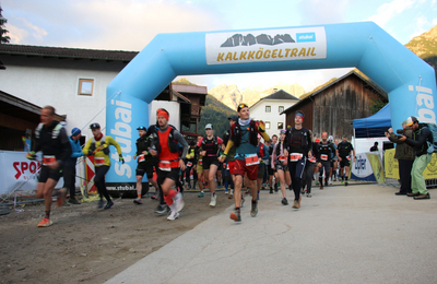
Schlickeralmlauf (long distance)
ważne informacje
Długość trasy
11.5 km
Wysokość metry pod górę
1177 hm
Metry wysokości w dół
60 hm
Najwyższy punkt
2110 hm
Trudność
trudna
Wytrzymałość
4/6
Umiejętność
4/6
punkt początkowy:
Telfes 984 m
punkt końcowy:
Bergstation Kreuzjoch Schlick2000 (2109m)
sprzęt:
Trailrunnning Schuhe
najlepsza pora roku:
Sty
Luty
Mar
Kwie
Maj
Cze
Lip
Sie
Wrz
Paź
List
Grud
profil wysokościowy
pogoda
opis
The Schlickeralmlauf with its decades of history as a venue for numerous major events such as World and European Championships, is one of the most renowned mountain runs in the world.The impressive scenery of the course is dominated by the striking Kalkkögel, also known as the North Tyrolean Dolomites.
From the start in the idyllic winter sports and Rosendorf Telfes, the course leads through meadows and woods, passes a torrent up to the Panoramasee. Then the beautiful trail leads over the alpine pastures and through forests to the Kreuzjoch, where the finish for all runners is right next to the mountain station of the cable car.
The last meters over a steep ski slope mark the end of the struggle, before you can enjoy a view of the Stubai mountains that is second to none.
Schlickeralmlauf