Stubai 100
ważne informacje
Długość trasy
100 km
Wysokość metry pod górę
5800 hm
Metry wysokości w dół
5800 hm
Trudność
trudna
Wytrzymałość
6/6
Umiejętność
5/6
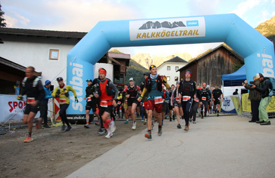
punkt początkowy:
Neustift Dorfplatz
punkt końcowy:
Neustift Dorfplatz
stan gleby:
Mostly wonderful trails in wooded areas, alpine passages with stone slabs and narrow trails, gravel paths and very short sections on asphalt.
sprzęt:
Trail running equipment
najlepsza pora roku:
Sty
Luty
Mar
Kwie
Maj
Cze
Lip
Sie
Wrz
Paź
List
Grud
profil wysokościowy
pogoda
opis
All five municipalities of the Stubai Valley can be explored on fantastic trails.
From Neustift, the route initially leads out of the valley to Neder, continuing via Herzeben and Issenanger to the Elferbahn mountain station. It then goes via the Autenalm to the Klamperbergalm, followed by the descent to Gasteig and Volderau. Easy paths lead to Falbeson, before heading partly along the cycle path out of the valley to Krössbach and up via Oberegg to the Mildraunalm. Continue to the Hühnerspiel nature reserve. After passing the Brandstattalm and Auffangalm, head back to Milders, then up via the Starkenburgerhütte to the Sennjoch and Kreuzjoch. From here, descend to Galtalm, past Galtalmsee and Panoramasee to Glotsteig. Continue on to Halsl, Sailboden and Jochkreuz, then descend via Burganna and the high moor to the valley floor in Telfes. At Wiesenhof, take the Stollensteig trail to Schönberg, then continue via Nockbödele to Gleins. Follow forest and woodland paths to Waldraster Jöchl and down to Koppeneck above Mieders. Passing the Sonnenstein inn, the trail now leads to Fulpmes-Jägerhäusl and Medraz, before returning to Neustift via the districts of Kampl and Neder.